-
Kallol Datta
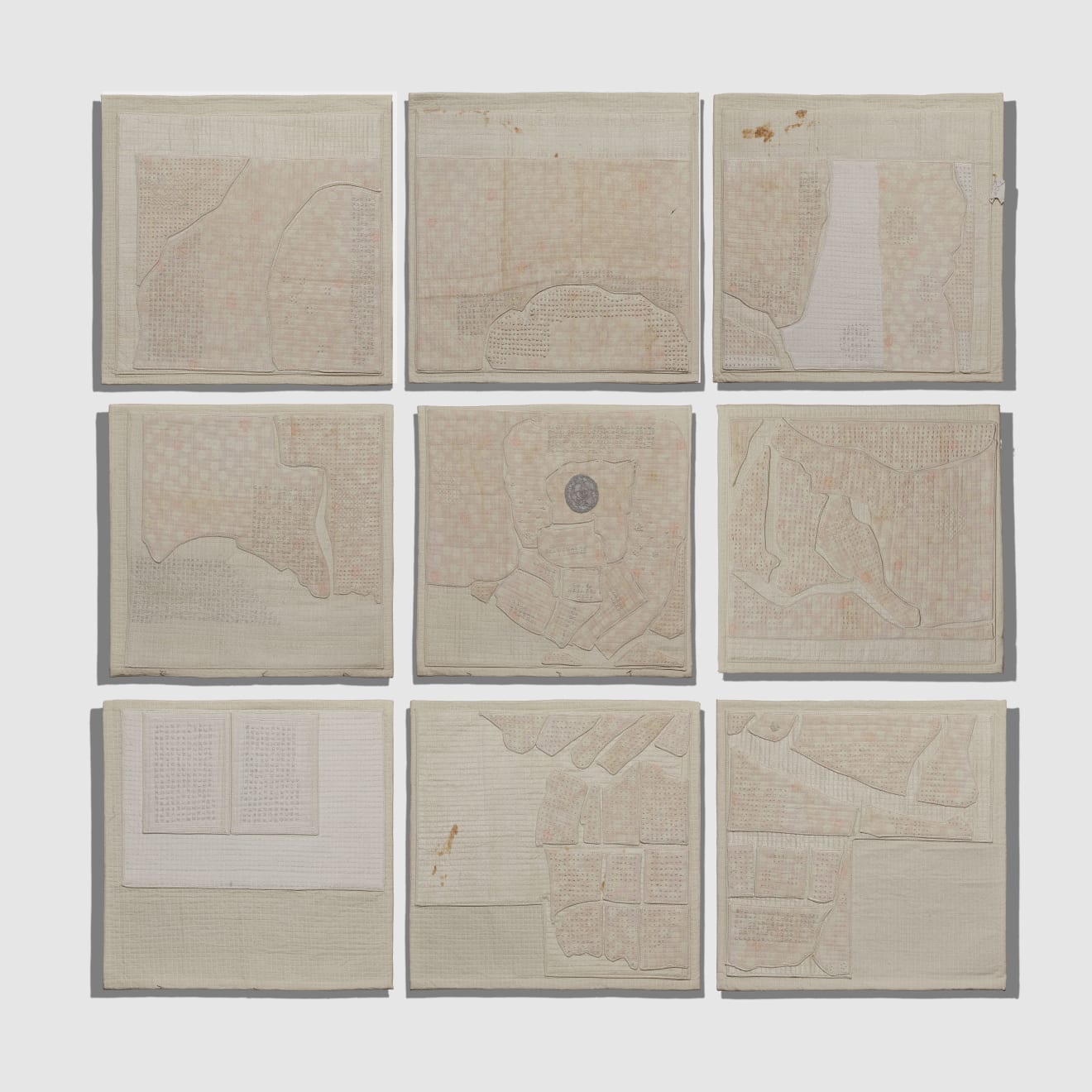
Surveying Edo, 2025Reconstructed kimonos and sarie; cotton, silk, thread and polyester
Suite of 917 x 20 1/2 in each approx.
43.2 x 52.1 cm approx.Copyright The ArtistMaps that were drafted during the Edo era were available in three formats: the smallest could be folded up and tucked into the sleeve of a kimono useful for travel...Maps that were drafted during the Edo era were available in three formats: the smallest could be folded up and tucked into the sleeve of a kimono useful for travel purposes; the second, which was a metre at its longest side, was to be viewed on a flat surface or a tatami mat; and the third, a massive three-metre-in-length map that gave the viewer an inflated notion of Edo’s power. During this period, the Shogunate-han system stabilised, and each domain’s industry flourished. The shipping industry, which supported the flow of goods between the provinces and the central government, also developed the kitamae ships. These crafts were capable of transporting large quantities of goods, such as rice tributes, soybeans, seafood, and timber, to the Shogunate, playing a key role in connecting the coast of the Sea of Japan.
The society of early modern Japan was organised into mibun, hereditary caste, or status groups. The four major status categories were samurai, peasants, artisans, and merchants. The latter two were often referred to jointly as townsfolk. Officially teahouses, kabuki theatres and brothels were out of bounds for samurai however transgressions occurred on the regular. Commoner wards for instance had their names inscribed directly on the street running through each ward; clustered overwhelmingly on low lying land reclaimed from the wetlands of edo bay. These crowded neighbourhoods were laid out in square or rectangular blocks - lumber ward, blacksmith ward, helmet makers ward, stable ward, clothiers ward, indigo dealers ward.
